Description
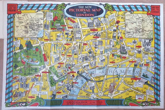
A very charming pictorial map of London.
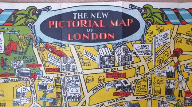
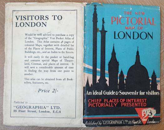
The New Pictorial Map of London
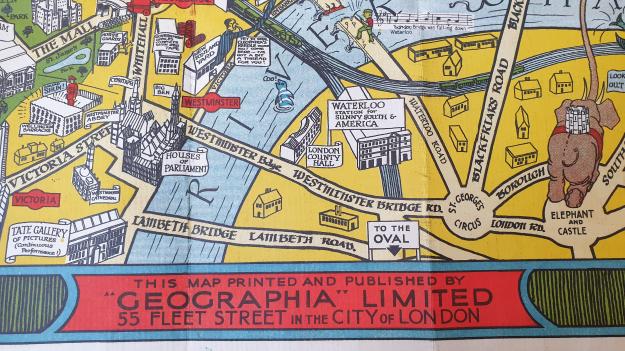
Geographia Ltd London 1934
Sheet size 74 x 49 cm, folding into thin card color pictorial wrappers 11 x 18 cm.
The map and cover are in a fine condition. Map is crisp and clean.
The title of this map is shared with other publications by Geographia which lack the artistic and comic character which makes this map desirable.
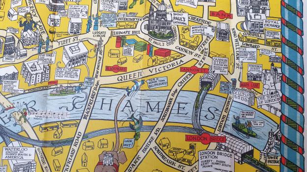
Of note are the large size and boldly designed border which distinguish it from a smaller (half size) edition of the comic pictorial map. It is a light-hearted map of London, in the vein of MacDonald Gill’s Famous Wonderground Map of London Town, with comic figures and humorous quips in speech bubbles.
The map covers the area from The Albert Hall at lower left to the Tower of London and Bank of England at right, from Euston Road at upper edge to the Elephant and Castle.
There is an inset street map at upper left marking Theatres, and another at upper right marking Cinemas.
Initials WJH appear in decorative border at lower right.
